

Where we went and why
We've been making weekly trips on Sundays to Albany from Sisters. It's our one day off together so it's our only day to hike. We're running out of places to hike along the way so we're revisiting some of the places that we've been in the past. On June 21, 2015, we decided to go to Suttle Lake. We were there back in 2012, but I didn't have a blog then so I don't have a post to refer you to. The book said that it was just over 3 miles, but our GPS trackers show that it was a bit longer than that. Oopsy.
How to get there
Suttle Lake is a few miles west of Sisters, Oregon. Just keep your eye out for the big sign and then follow the signs to the Day Use area. The hike goes all the way around the lake and you can start if from the resort side or from the camping areas on the west side and the south side. If you start from the day use area on the resort side, I suggest. you go counter clockwise. For those of you who grew up on digital clocks and don't grasp the concept of counterclockwise, if you're facing the lake from the day use area, go right and find the path. Our first time, we tried to go the other way, but we couldn't find the path. That's because once you hit the resort area, it gets a bit confusing. If you go counterclockwise, it's much easier to guess your way around and find you back back to the car.
The Hike
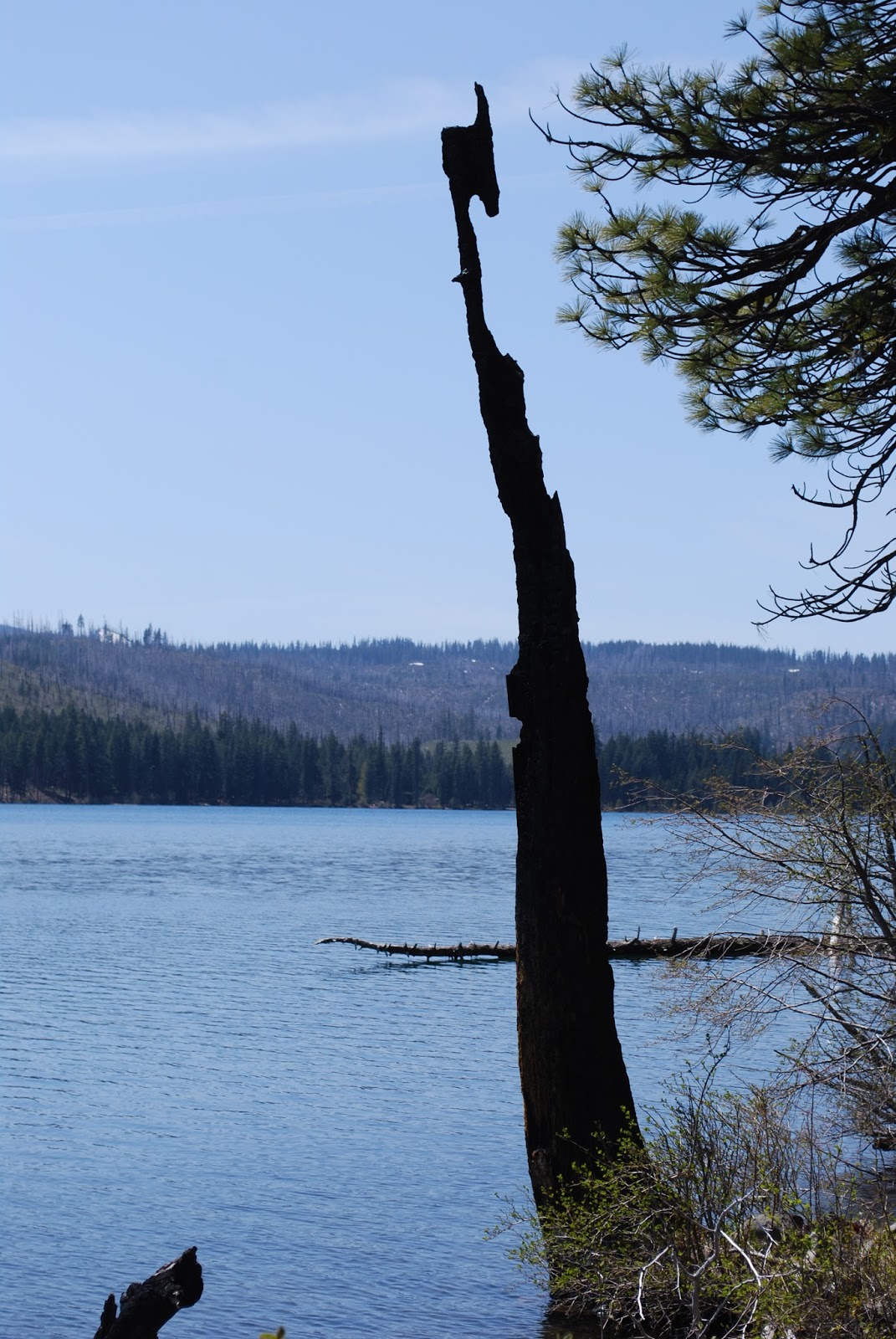
Every hiking guide that we have, lists this as an easy hike, and it is an easy hike for the bulk of the population, but I'm 275 pounds and I want to give other people of my size and abilities a better understanding of the difficulty level of hikes. Everyone lists Soda Creek Falls as easy too, but hat thing is 3/4 of a mile uphill. When both of these are listed as easy, it makes finding hikes difficult for my ability. There is only a 100 foot elevation change at Suttle Lake. However, the first section has a lot of ups and downs. You can't really see it in the elevation map because of the way it's laid out. For the most part, we were able to maintain a pace of about 3MPH. We took a few breaks during parts of the hilly section and we slowed down in parts, but we made it through the hike in just over an hour. The book said that it was just over 3 miles around the lake, but our GPS said that it was closer to 3.5. The lake is gorgeous, and it's quite popular in the summer. The day use area had several people and the campground had a lot of people. There were several people out on the lake with boats. There were a few people on the trail, but not very many.

Restrooms
This location has several restrooms available. There are some in the resort area as well as in the campground area and by the boat launch area.

Polar M400
You can't really see much elevation change and the average person probably won't mind the hills, but if you're just starting out on your journey to get in better shape, it could be a bit challenging to do this hike. I was definitely ready for the hilly stuff to be over and done with, and I've been working out for over a year. The heart rate monitor went wonky on this hike too. I think I've got it all figured out now, but there were some rough patches along the way.


No comments:
Post a Comment