
 |
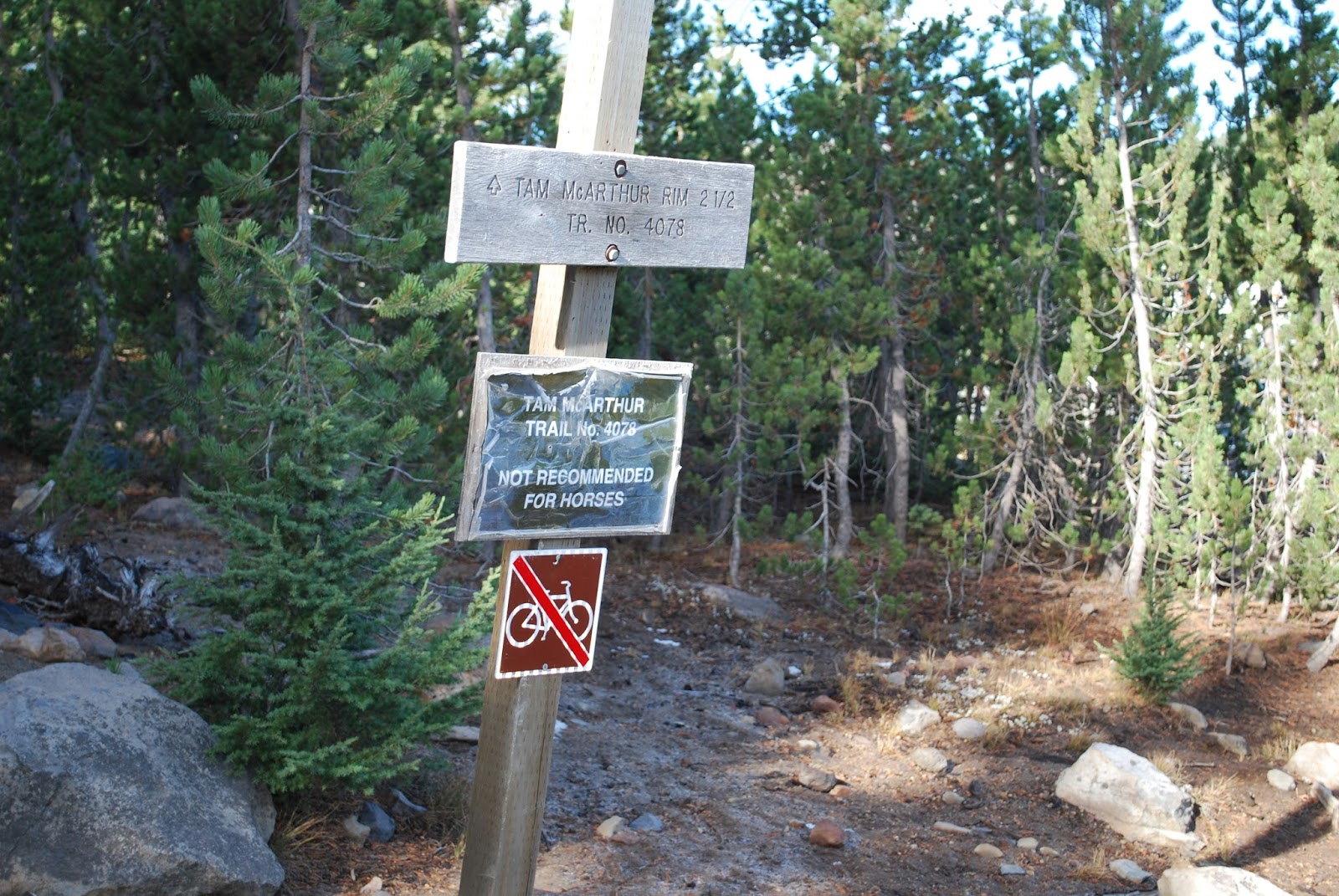
| Trailhead |
Where we went and why...
I had another three day weekend which meant two days off with hubby I wanted to go on a challenging hike for us and he's been talking about going up Tam McAruther Rim. We had talked about doing it when there was more snow on the mountains, but we decided to just go for it.
 |
| Big Three Creek Lake |
How To get there...
If you're heading from Bend, take HWY 20 to Sisters. In the middle of town, go left onto Elm Street. There are big brown signs pointing towards Three Creeks Lake so you shouldn't be able to miss Elm Street. Once you turn onto Elm street, just keep driving. You'll go at least 14 miles. It's paved for most of it, but then it turns to dirt.It was pretty bumpy, so be on the look out for holes and rocks in the road. Once you pass the Driftwood Campground on the right, you'll see the trailhead on the left. You should get there early to make sure you can find a parking spot. It will also make the experience more enjoyable since you won't have to deal with pulling off the trail so much to let other people pass.

The Hike
The hike starts off going uphill. I hate starting off uphill. It's a bit steep at times, but it's not unbearable. It's nothing like Tumalo Mountain was. For the first 1/4 mile or more, you get decent views of Big Three Creeks Lake and also one of the Sisters Mountains and Tam McArthur Rim. It's a bit scary looking at the place where you'll end up. It looks so far away and so high up!
 |
| Little Three Creek Lake |
After a bit, you run into switchbacks and it's a little steeper. It's nothing too crazy though. Once you get through the switchbacks, it flattens out a bit. There were a few times where we weren't really sure of where the trail was. We tended to stay to the right if in doubt. During one section, that decision kept us pretty close to the end of the cliff and climbing up rock steps. It was gorgeous and scary all at the same time.
 |
| Tumalo Mountain |
Once we got through that section, it flattened out again for a bit. We then started climbing again. There were a few spots with nice scenic views of Big Three Creek Lake and Little Three Creek Lake. We went on a hike around Little Three Creek Lake last August. It's a much easier hike than Tam McArthur Rim.
 |
| Broken Top |
The last 1/4 mile or so is rather steep, but again, it wasn't nearly as difficult as Tumalo Mountain. The terrain in this section was pretty sandy volcanic ash type stuff though which made it annoying. We were also pretty close to the edge of the cliff which made this section scary!

Once you get to the top, you can walk around the ledge up there and see Broken Top, Mt. Bachelor, Tumalo Mountain and a couple of the Sisters. There was pretty heavy cloud cover by the time we got up there though, so we didn't get to see much of the Sisters. The tops of Broken Top and Mt. Bachelor were also covered by the clouds.
 |
| Tumalo Mountain to the left and Mt. Bachelor to the right |
When we left the house, it was pretty much blue skies with a few stray clouds, but it took us three hours get to the top and the clouds had rolled in. It was still amazing up there. We could see the city of Sisters and the city of Bend as well. We probably saw Redmond, but we didn't recognize it. It was nice looking down and seeing Little Three Creek Lake since we hike around it last year. It was also neat to see Tumalo Mountain since we went up that one a couple weeks ago.
 |
| Big Three Creek Lake |
When you get to the top, there's a sign that says End of Trail. It's not completely accurate. You can go another 1.3ish miles by going to the left of the End of Trail sign. We didn't do that though. This hike was challenging enough for us and the cloud cover kept us from wanting to go the extra distance since it would have gotten in the way of some really amazing pictures. We decided to turn around and head for the car after a little snack of Trader Joe's Fruit Bars and cashews.

We decided to stay right as we came down, so we ended up getting different scenery until we hooked back up with the main trail. I'm glad that we decided on that route because as time went on, the trail got crazy busy and I wouldn't want to do that cliff section with people coming the other direction. This trail was crazy busy and there were a ton of dogs. I like dogs, but I lot of people don't keep them on leash, so I thought I would mention it in case people don't like dogs or are allergic to dogs.
 |
| We went from the Three Sisters Wilderness to the Deschutes National Forest during this hike. |
It was about 45 degrees when we started this hike! It warmed up a bit, but it was still pretty chilly at the top with the wind blowing. I wore my Columbia Sportswear moisture wicking convertible pants with thermals underneath. I also wore a long sleeve t-shirt from the Shamrock Run that I never actually did with a regular t-shirt over it. The Shamrock Run shirt is white and I hate wearing white in public so the T-shirt over it helped keep me warm and covered up the white at the same time.
 |
| The end of the trail. |
The first part of the hike had a lot of tree cover, but then it was pretty much out in the open. It would be a good idea to make sure you have sunscreen and plenty of water especially if it's warm.
 |
| The view of where we were about to go! |
Overall Thoughts
We really enjoyed this hike and will be going back. Tam McArthur Rim is an easier hike than Tumalo Mountain because it's not a constant uphill battle. There are a few flat spots on Tam McArthur Rim, but Tumalo Mountain is steep and steeper. If you're trying to decide between the two, I would suggest Tam McArthur Rim over Tumalo Mountain because the hike is not only easier, but it's more scenic as well. Tumalo Mountain has some great shots of Mt. Bachelor and the Three Sisters one you get to the top, but Tam McArthur Rim has more to look at along the way which makes the hike more fun and keeps your mind off of the fact that you're going uphill. We didn't stop nearly as often getting to the top of this one compared to Tumalo Mountain.
 |
| One of the Sisters. |
I'm writing this the day after the hike, and my calves are sore, but not nearly as sore as they were for Tumalo Mountain. My calves hurt for a week from that one. I could still probably workout today if I wanted to. I probably will too. The day after Tumalo Mountain, I didn't want to do anything. Part of the difference was the hike, but it was also because Tumalo Mountain made me stronger and so did my two weeks of Cize The End of Exercize.
 |
| Another shot of one of the Sisters with some clouds over her. |
Restrooms
There were no restrooms at this hike. I thought there was one in the Driftwood Campground parking lot that I used when we did our Little Three Creeks Lake hike, but we couldn't find it. There were plenty of places to pull off the trail to take care of things, but the trail is fairly busy so I didn't really want to risk it even with having hubby as a lookout. It's pretty much a production for me to pee in the woods.
Gaia GPS
Here's the elevation map for Tam McArthur Rim from Gaia GPS. The miles are a bit high on here. We didn't go 6.4 miles, but the elevation should show a pretty accurate assessment of the elevation. You can see how it flattens out just a bit in certain spots and gets steeper in others.

Polar M400
Here are the screens hots from my Polar M400 GPS device. Check out that calorie burn for my hike to the top of Tam McArthur Rim!


No comments:
Post a Comment